3.1.4. Forbidden locations
3.1.4.1. It is forbidden to draw the following on Yandex Map Editor:
-
-
Military training areas, shooting ranges.
-
Battle positions of troops.
-
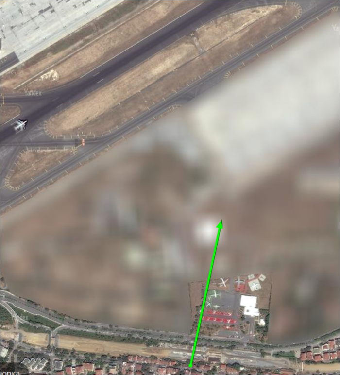
Runway lanes and signal markings on them.
-
Service roads or special-use roads that are located in the restricted (service) area of the airport.
-
Railway stations located on military bases and in similar territories (example in Russia: closed cities overseen by Rosatom and the Ministry of Defense).
-
Civil defense structures.
-
Coastal alarm signs.
-
Gas pipelines, oil pipelines, other pipelines, water mains, electric poles, other electric transmission lines.
Note
This ban doesn't apply to buildings on the territories of the previous type of item.
-
Physical divisions along state borders.
-
Items related to state geodesic networks (for example, State Geodesic Network points).
-
Organizations whose activities are officially forbidden in the given state, on the state's area.
-
Do not draw in territories where satellite images look
blurry
.You can't edit map items that were already created on these territories.
For example:
-
Organizations belonging to categories that aren't available in the region. You cannot create them and link them to similar categories.
Note
Military facilities listed above are drawn on the map even if they're abandoned or inactive.
-
3.1.4.2. You can not enter the following characteristics of items that can be mapped on YME:
-
3.1.4.2.1
- The item type, proper name, number or other ID — for military bases (including military units and cities), as well as similar items such as closed cities overseen by Rosatom and the Ministry of Defense.
3.1.4.2.2
-
In the item name you can not indicate the following:
- — The item is part of the military-industrial complex (military airdromes, seaplane ports, space ports, and factories)
- — The item is linked to another item that is part of the military-industrial complex (including research centers whose names indicate their link or proximity to military items)
- — The item belongs to a security or intelligence agency (such as the FSB, GRU, Foreign Intelligence Service, and so on), except when it is open for visitors (administrative buildings, hospitals, educational institutions, research institutions, or museums).
3.1.4.2.3
- You can not specify what assignments specific buildings are engaged in on military territories (which include military units, bases, and cities such as the "closed cities" overseen by Rosatom, the Ministry of Defense, or the Reserves Training Center in Russia).
3.1.4.2.4
-
You can not indicate the technical features of items (bridges; dams; energy, housing, and utilities, etc.)
However, this is allowed in cases where an item's technical features are part of its official or accepted proper name. For example: Mill-5000.
When talking about rapid transit in ski resorts, you can also include location height in its station names if that information is included in instruction materials (guides, booths, pamphlets, etc.). For example: Fairytale 1835 m.
3.1.4.2.5
- You can not name functioning navigation- and geolocation-related map items. Draw them as buildings classified under the
Non-residential buildings and facilities
type (see Section 3.4. Buildings). Decommissioned lighthouses are additionally marked asLocation
items of theAttraction
type.
3.1.4.2.6
- Naming separate buildings for vent shafts, mineshaft collars and adits. Assign the
Utility and storage
orIndustry
attributes to these items.
3.1.4.2.7
- Naming industrial docks, slipways, and shipyards. Items are attributed as
Pier
type water transport stations.