3.11. Terrain
Terrain is represented using placemarks and polygons on the map, for example:
-
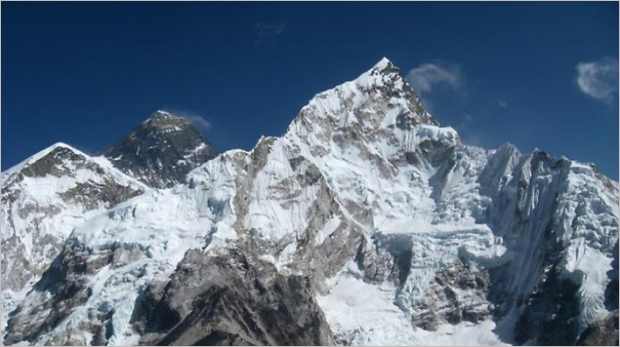
Vertex — the peak of the mountain (represented by a placemark):
-
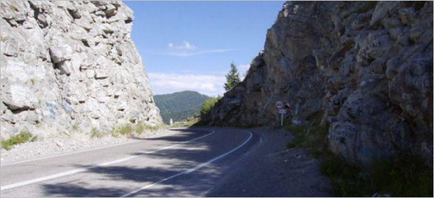
Mountain pass — a descent in the crest of a mountain range. Mountain passes (represented using placemarks) provide the easiest and most convenient routes between mountain valleys:
-
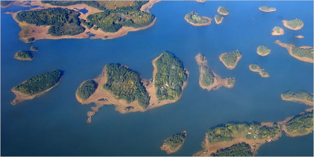
****Island — a piece of land that is surrounded by water on all sides (represented by a polygon):
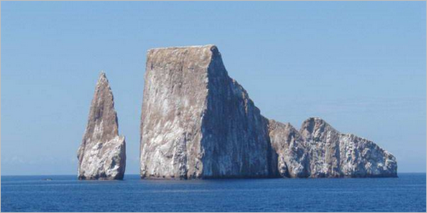
Sections of land that are surrounded by water due to seasonal changes (floods or tides) are not considered islands. These sections of land are not displayed on the map as reservoir shapes or types of terrain.
Note
If the island is named
island N
, it is drawn and categorized as an object of the Island relief type. For example: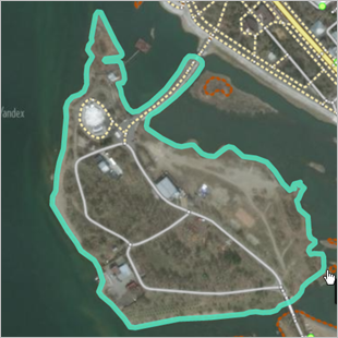
-
Archipelago — a group of several Islands (polygonal map item):
-
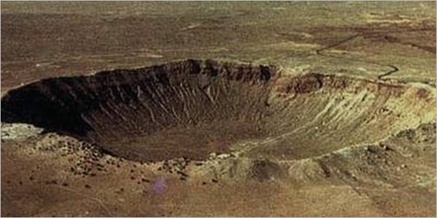
Other terrain items: all polygonal terrain items that do not correspond to any of the above types. For example, meteor craters:
For more information, see sections:
- 2.5.1. Places: drawing techniques
- 2.7.3.1. Drawing simple polygonal items
- 2.8. Circular linear and polygonal items
- 3.11.1. Rules for drawing terrain items
- 3.11.2. The rules of attribution of terrain